
Connecting landscapes, policies, and communities
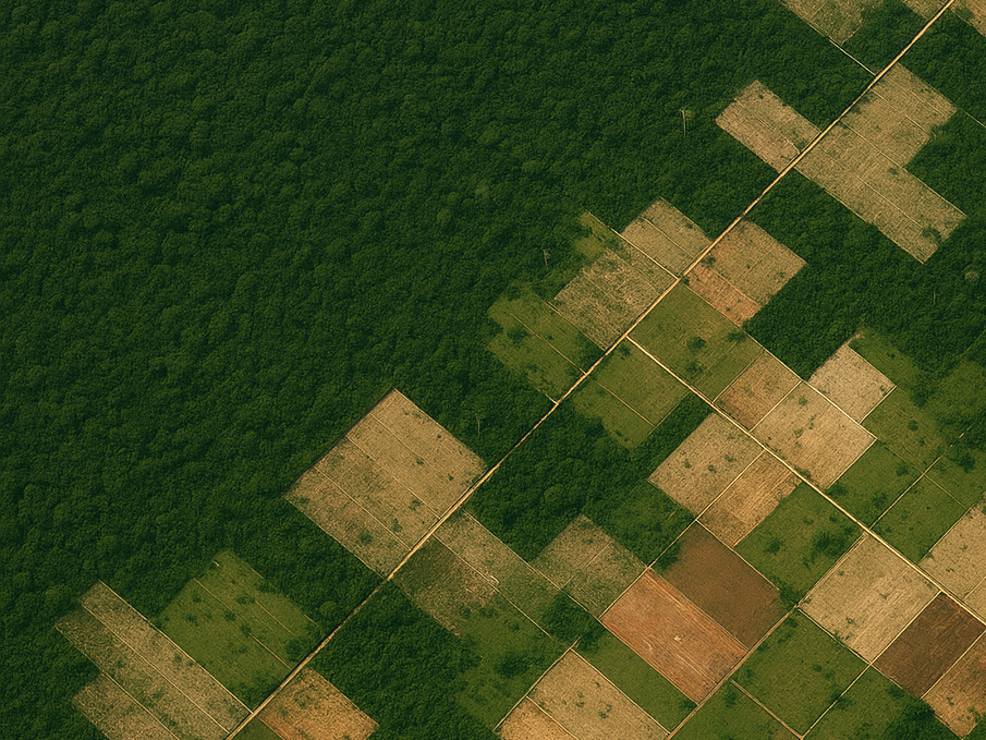
Geospatial analysis using remote sensing and property-level data to identify the underlying drivers of deforestation in the Amazon.

Developing new approaches to track and understand commodity supply chains across Latin America and the US.
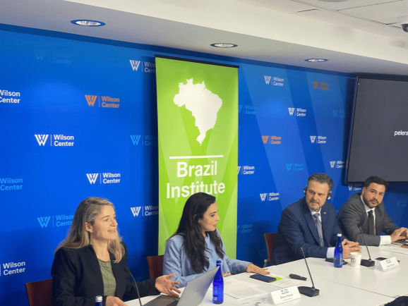
Integrating causal econometric analysis with the best field and property-level data to bring new understanding to company and producer responses to public and private sector policies.

Developing AI-driven models to analyze high resolution satellite imagery, particularly related to estimating cattle presence and densities.
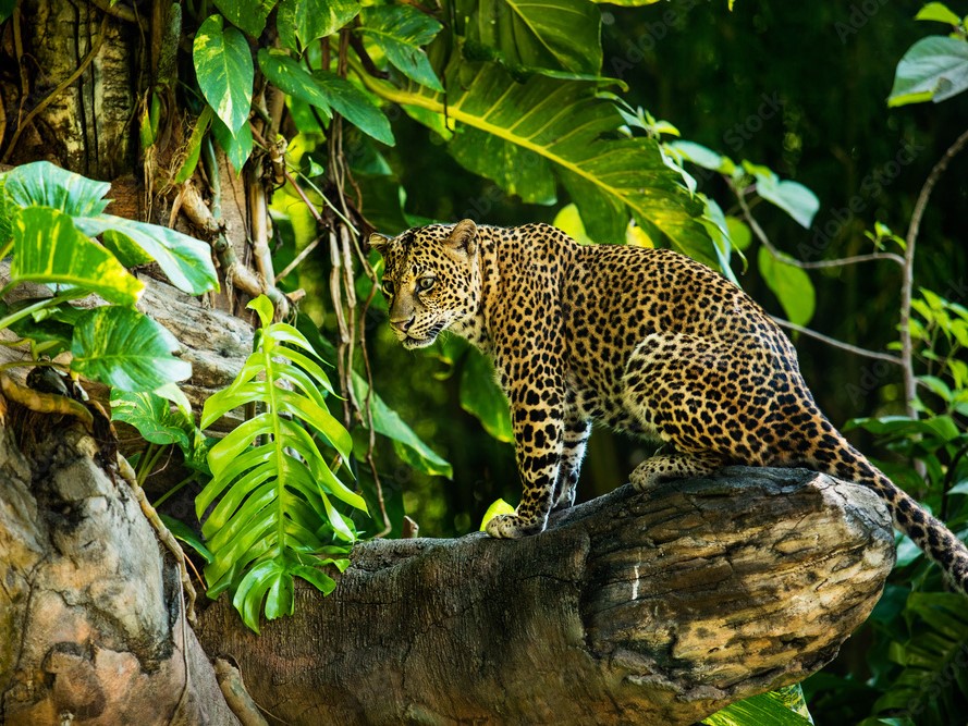
Finding links between land-use change from commodity agriculture expansion and impacts to biodiversity across the worlds most threated and biodiverse forests and regions to guide strategies for conservation.
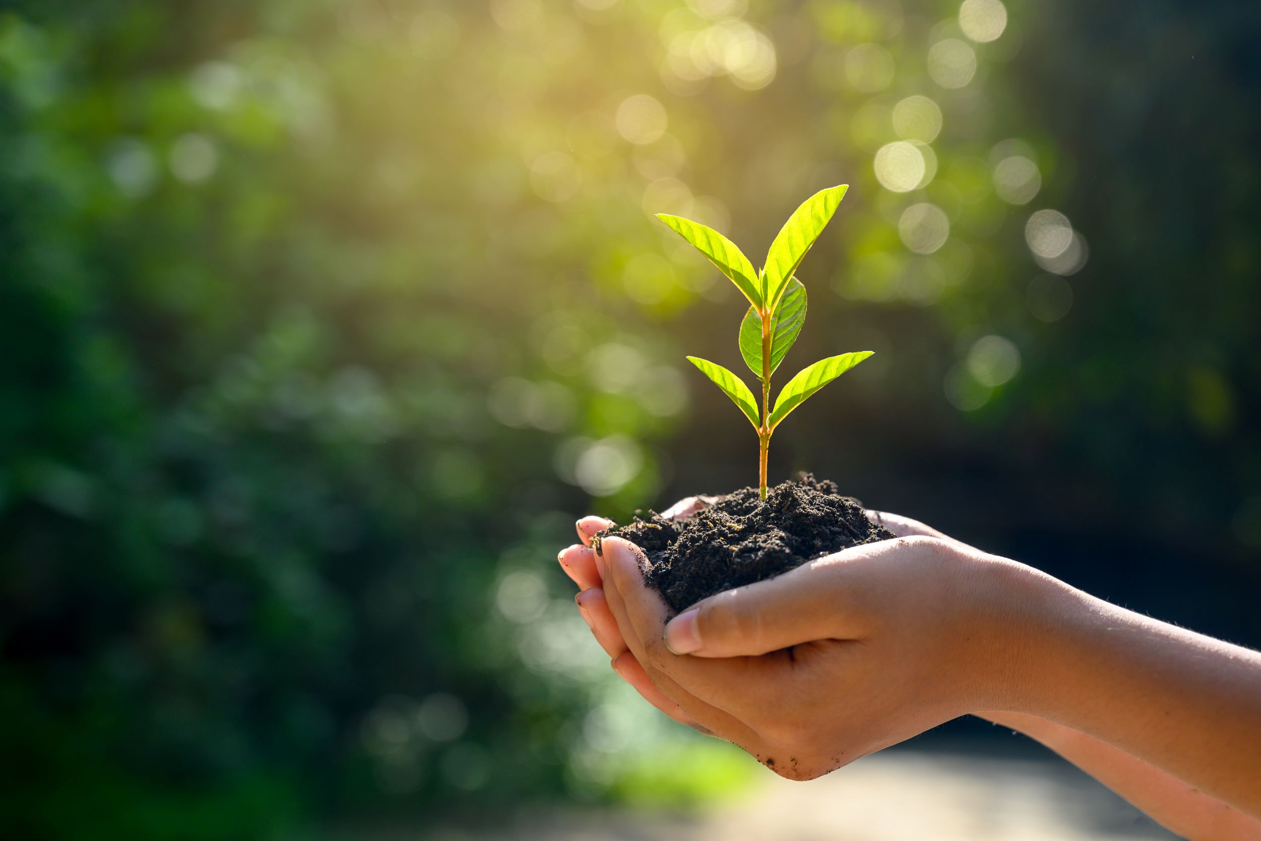
Expanding agricultural frontiers and climate change have direct impacts on human health and well-being.